By Agwanda Jakorando
The County Government of Kisumu in partnership with the United Nations Development Programme ( UNDP) is implementing the strengthening urban resilience to emerging disaster and climate risk project.
This is an ongoing initiative designed to enhance urban resilience in Kisumu by improving the city’s capacity to anticipate , prepare for and respond to emerging risks and is funded by the Governments of Denmark and South Korea.
The programme runs until March 2026 and targets cities in high-risk contexts ,particularly those vulnerable to heat waves ,floods,environmental degradation and conflict.
Through the programme ,the County Government of Kisumu is expected to benefit from contextualized and actionable risk information,improved governance systems and risk-informed urban planning,enhanced technical capacities and resources as well as deployment of innovation ,digital technology and nature based solutions.
As part of it’s ongoing implementation,the project is equipping the County Government of Kisumu’s Emergency Operation Centre (EOC) with cutting-edge tools for real-time risk analysis and mapping.
This includes the acquisition of flood mapping drone and 3D modelling software which will significantly improve the County’s ability to monitor flood-prone zones ,asses other potential hazards and make timely ,data-driven decisions for disaster preparedness and response.
The drone will also enable high-resolution mapping of critical infrastructure and vulnerable settlements which will support risk-informed urban planning and sustainable city development.
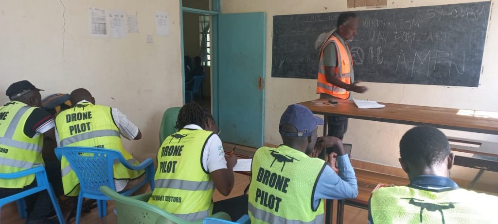
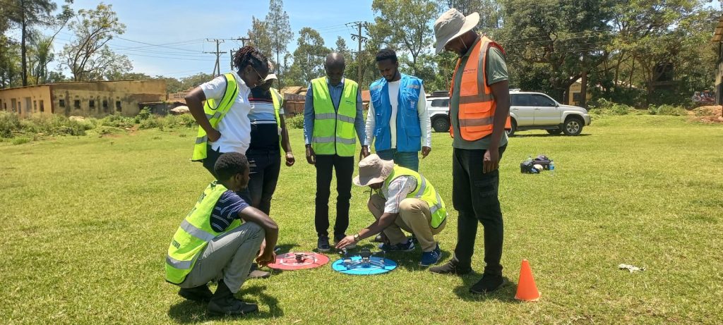
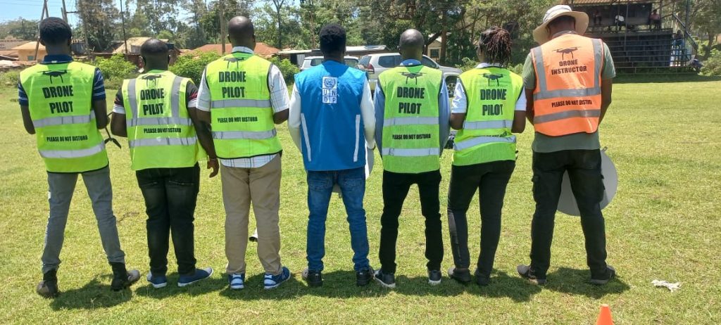
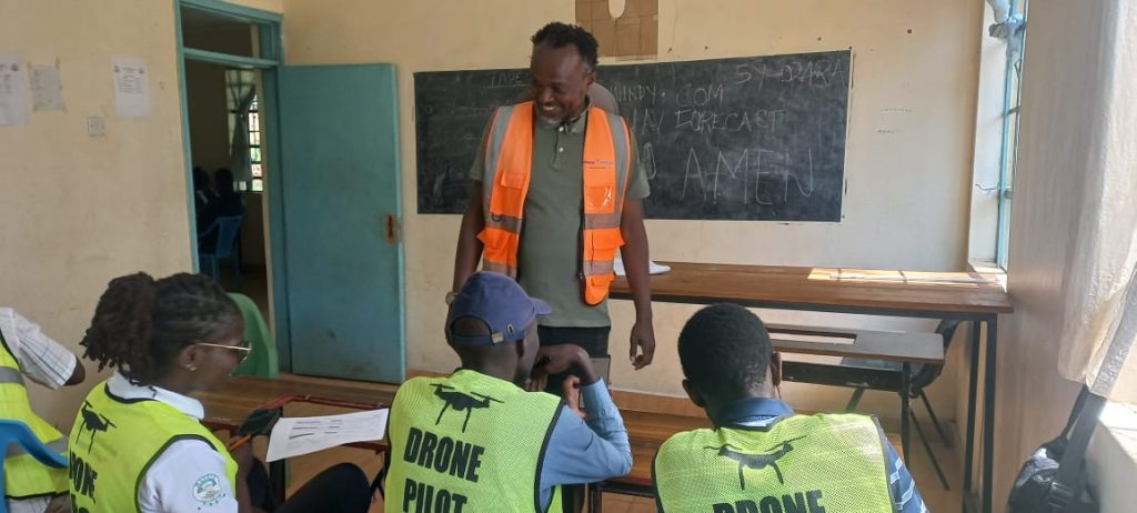
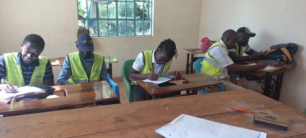
To ensure sustainability and local ownership ,the project emphasizes capacity development with already five technical officers from the County Government underwent professional training to acquire the Remote Pilot Licence (RPL) a requirement under the Kenya Civil Aviation Authority (KCAA)
The training was conducted by Drone Space a KCAA-accredited firm and involved classes ,theory with on-site sessions .
The officers were selected based on their technical expertise and roles in disaster Management, Urban planning and resilience building will form Kisumu’s first in-house drone mapping and risk analysis team.
Once certified ,the officers will oversee continues risk monitoring data collection,monitoring and geospatial analysis ensuring that urban resilience in Kisumu is anchored on local technical capacity and long-term sustainability.
“The intergration of drone technology into our disaster Management framework marks a turning point for Kisumu and for the first time,we will have real-time visibility of risk-prone areas enabling faster ,evidence-based responses and this initiative will strengthen our ability to protect communities and ensure that resilience is built into every aspect of our city’s growth”said the County’s Executive Member in Charge of Disaster Disaster Risk Management Salmon Orimba.
Raphael Mutitu ,UNDP Disaster Risk Reduction and Resilience Specialist says that UNDP’s collaboration with Kisumu County is part of their commitment to ensuring that innovation and technology serve people at the local level
“By investing in tools,data and capacity ,we are building a foundation for sustained resilience where counties like Kisumu can anticipate risks before they escalate into disasters”Mutitu added.
The Introduction of drone mapping in Kenya’s urban resilience efforts marks a major milestone for Kisumu County.
It demonstrates how digital innovation,local capacity building and strategic partnerships can strengthen city systems and safeguard lives and livelihoods.
And by embedding data-driven approaches and technological innovation disaster Management ,Kisumu City is paving the way fir a safer ,more resilient and climate-smart urban future.
This is part of Kisumu Governor Prof.Anyang’ Nyong’o’s commitment to making Kisumu County a Disaster Resilient County through signing the Making Cities Resilient MCR 2030 last year with the United Nation’s Office for Disaster Risk Reduction (UNDRR).